Ein Berg. Sieben Orte. Einzigartiger Urlaub.
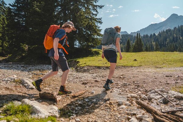
Berwang - Loreakopf from Mitteregg
The hiking trail begins at the end of the small village Mitteregg. After a 1.5 hour walk through the valles Gröbental, you'll reach a crossing. Follow the path along a wide, graveled hiking trail that runs along the stream. Here the path continues to the left on a path, ascending several serpentines, signposted Loreakopf. Continue through many forests, past the Loregghütte (closed). A crossing follows. Follow the left-hand trail, past the "Kragen", climbing up some rocky ground to the Loreascharte and from there ascent to the rocky summit Loreakopf 2.471m.
Descent options:
- the same way back to Mitteregg
- Descent to the Rotlechsäge between Anrauth and Kelmen
- Descent to Berwang via the valley Älpelestal
- Descent to Bichlbächle via Regall
IMPORTANT NOTES:
● Stay on the marked hiking trails
● Keep your distance from grazing animals
● Be aware of the mountain hut opening hours
● Alpine emergency call: 140